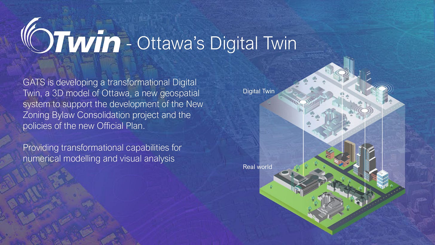
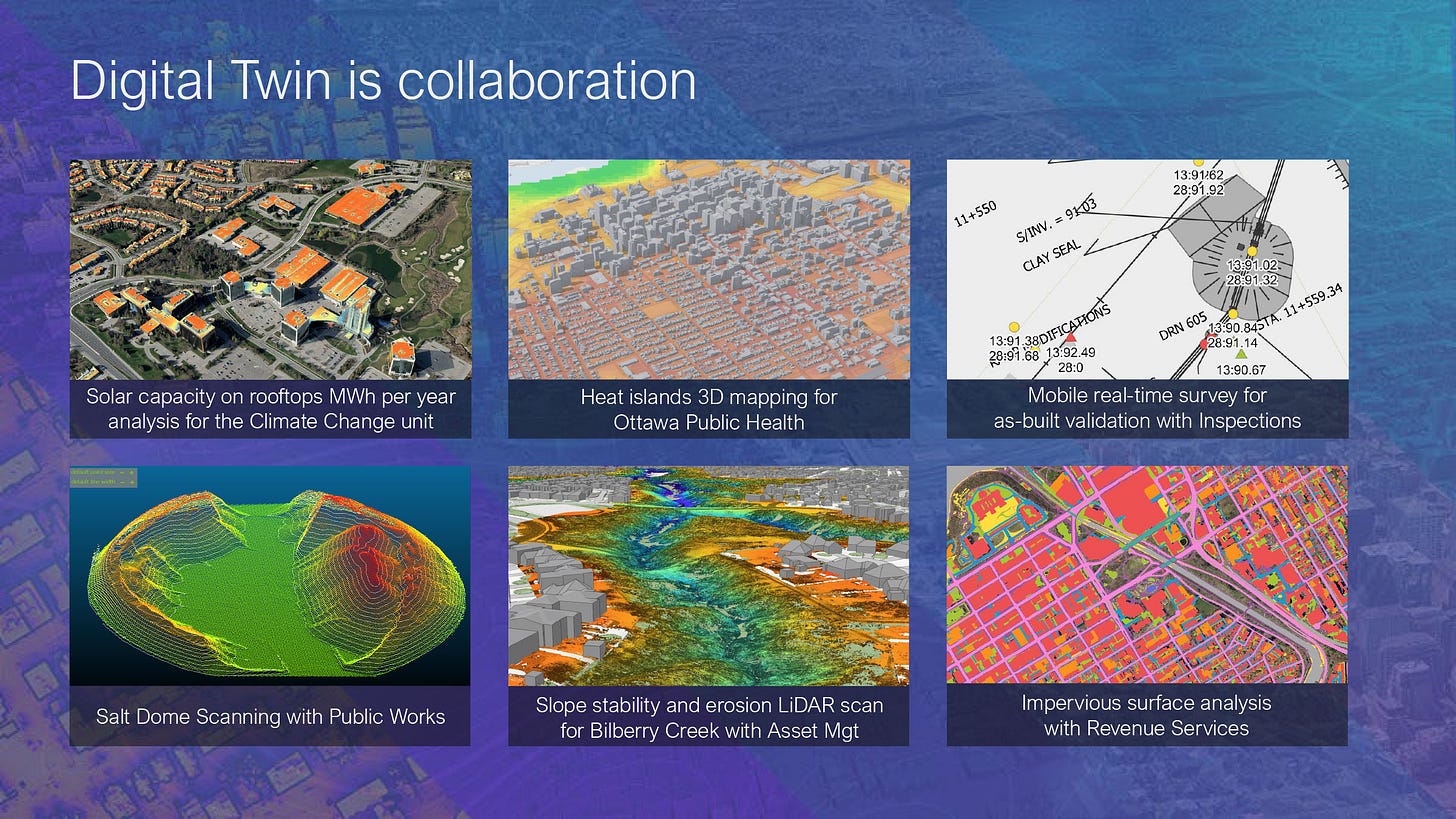
This week at Planning & Housing Committee, City staff showed us a jaw-dropping demo of OTwin, Ottawa’s new Digital Twin project.
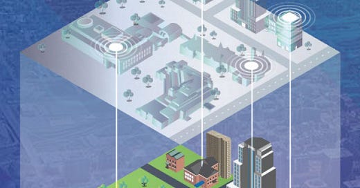
It’s a 3D virtual representation of Ottawa than will be used to model and simulate changes to the city, showing buildings, roads, transit, trees, power lines, and even underground infrastructure. One of my council colleagues likened it to SimCity in real life, minus Godzilla.
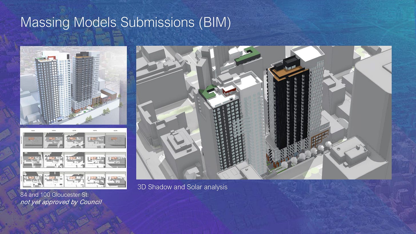
Staff can layer on zoning regulations to make it easier to visualize how changes to zoning (height limits, setbacks, density, etc.) might affect a neighbourhood. It’s in-house only for now, but once fully baked it will be available for residents to explore online. Watch for it in the next year or two.
It’s not just for urban planning. Just about every city department can make use of the tool in some way or another. For transit, they’re integrating OC Transpo’s GTFS-rt data to allow for a 3D visualization showing the location of buses and trains in realtime.
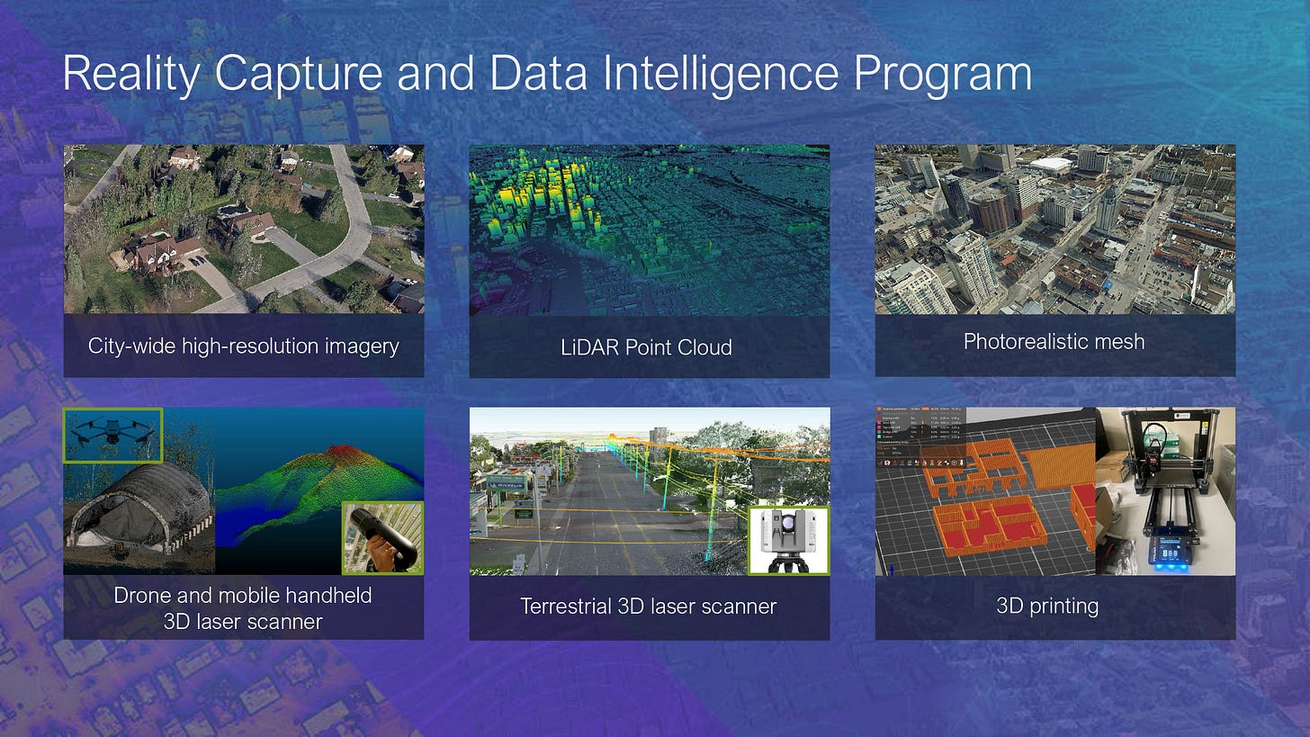
You can watch the demo below, including a staff presentation and walk-through of the digital tool. I’ve also copied some of the slides from the presentation deck. Really neat stuff.
YouTube demo: https://www.youtube.com/live/16pK3mtnRj4?si=vUyVmDIBbFOwUnAq&t=2263

